Custom software that turns imageryinto automated answers.
Software built for one imagery problem at a time, across radar, optical, and multispectral collections.
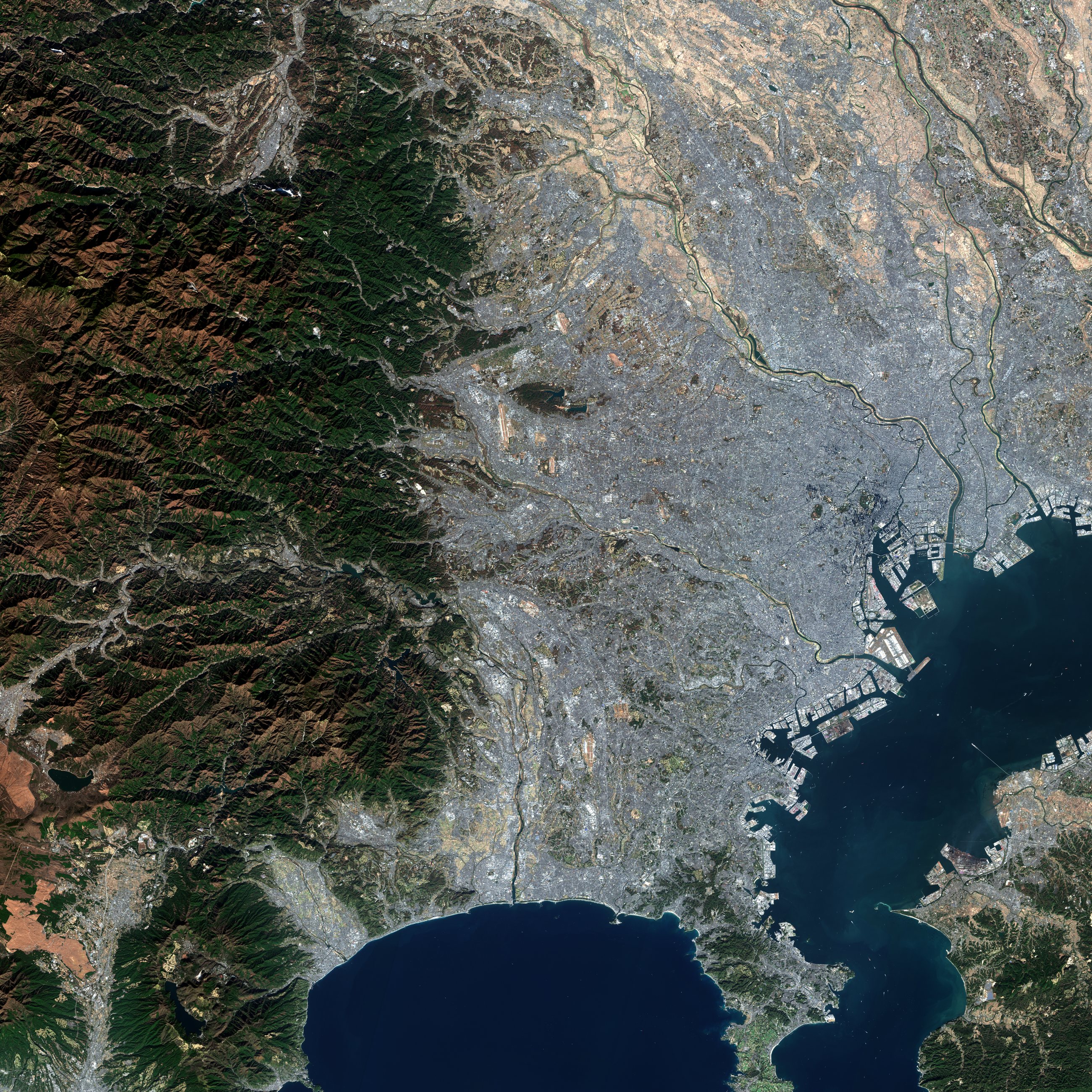
Sentinel-2 true color over Tokyo, 7 December 2025.
Public open-data archive
What we build
Custom analytic software, built around your problem
Not a subscription to someone else's black box. The analytic software is built around the specific question, and the sensors and archives that can answer it are chosen for that question rather than assumed.
- Detectors
- Built for the object and the sensor you care about, not a generic model pointed at your data.
- Models
- Tuned on imagery of the thing you actually care about, and held to whether the result survives on a scene it has never seen.
- One common base
- Radar, optical, and multispectral all arrive differently. They are put onto one base map so everything lines up and a pixel means the same place in every frame.
Example applications
Problems this approach can address
Examples, not case studies. Each one is a question you can answer about a place from imagery alone: no crew sent out, no access on the ground.
Maritime · Defense
Find vessels that are not broadcasting their position
Vessels switch off their transponders to smuggle, break sanctions, or fish where they should not, and no one can watch an entire ocean by eye.
The same approach can sweep a stretch of sea and surface the vessels in it, including those broadcasting nothing, by day, by night, and through cloud.
Surface the vessels that transponder feeds miss, so a small team can cover far more water.
Economic · Competitive intel
Measure activity at a port you cannot visit
You need to know how active a port, terminal, or anchorage really is, but you have no access on the ground.
The workflow reads the ships and cargo moving through a location, pass after pass, and turns it into an activity picture you can track over time.
Economic signal you cannot get from a press release, built from imagery you can independently check.
Infrastructure · Energy
Know if the ground under your asset is moving
Years of archive imagery become a before-and-after map of where the ground around your site has shifted, with no crew sent out.
Insurance · Risk
See what a storm or fire actually hit
The satellite already flew over; we turn that pass into a building-by-building, acre-by-acre damage read your teams can act on.
Agriculture · Land
Spot the failing field before the truck does
The whole area is screened on every pass, and anything changing gets flagged: stressed crops, creeping water, or new encroachment.
What an answer looks like
A written analysis, or software that runs again
The answer to the question, with the reasoning and the imagery behind it shown rather than asserted. Where the same question recurs, the analysis can be written as software rather than repeated by hand.